
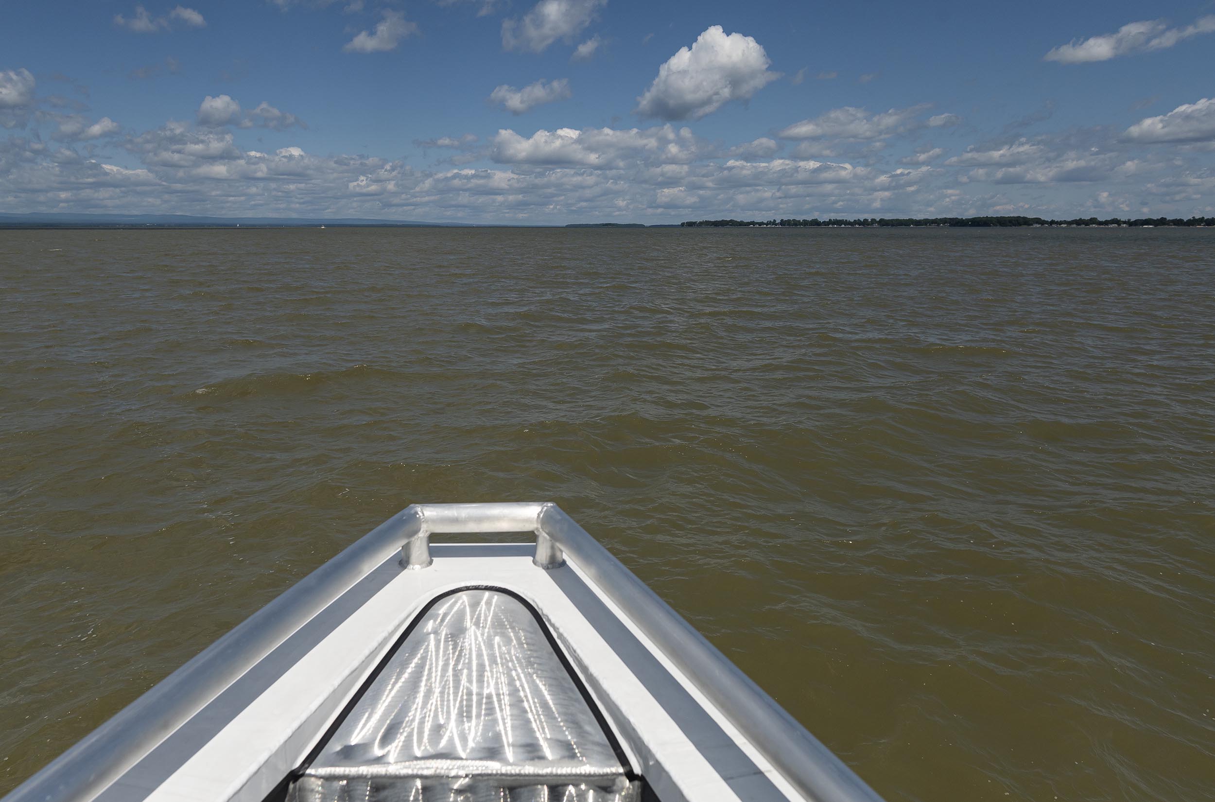
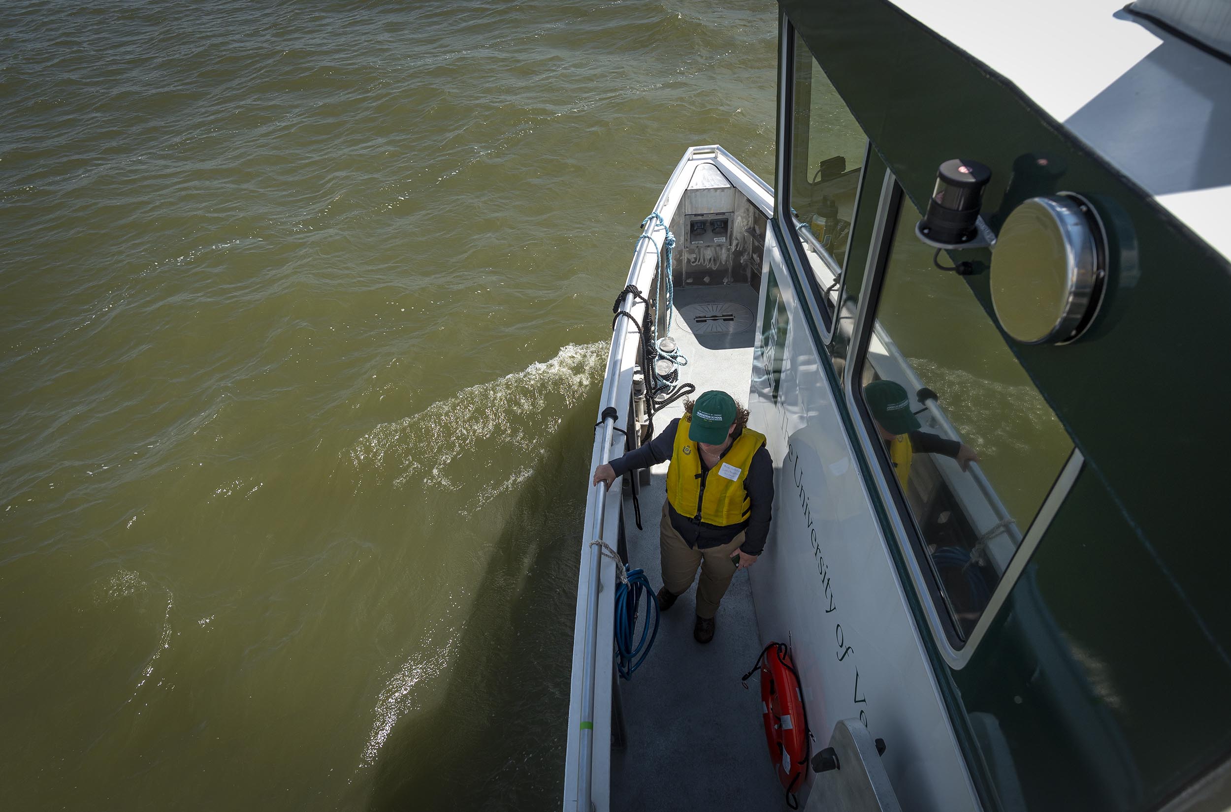
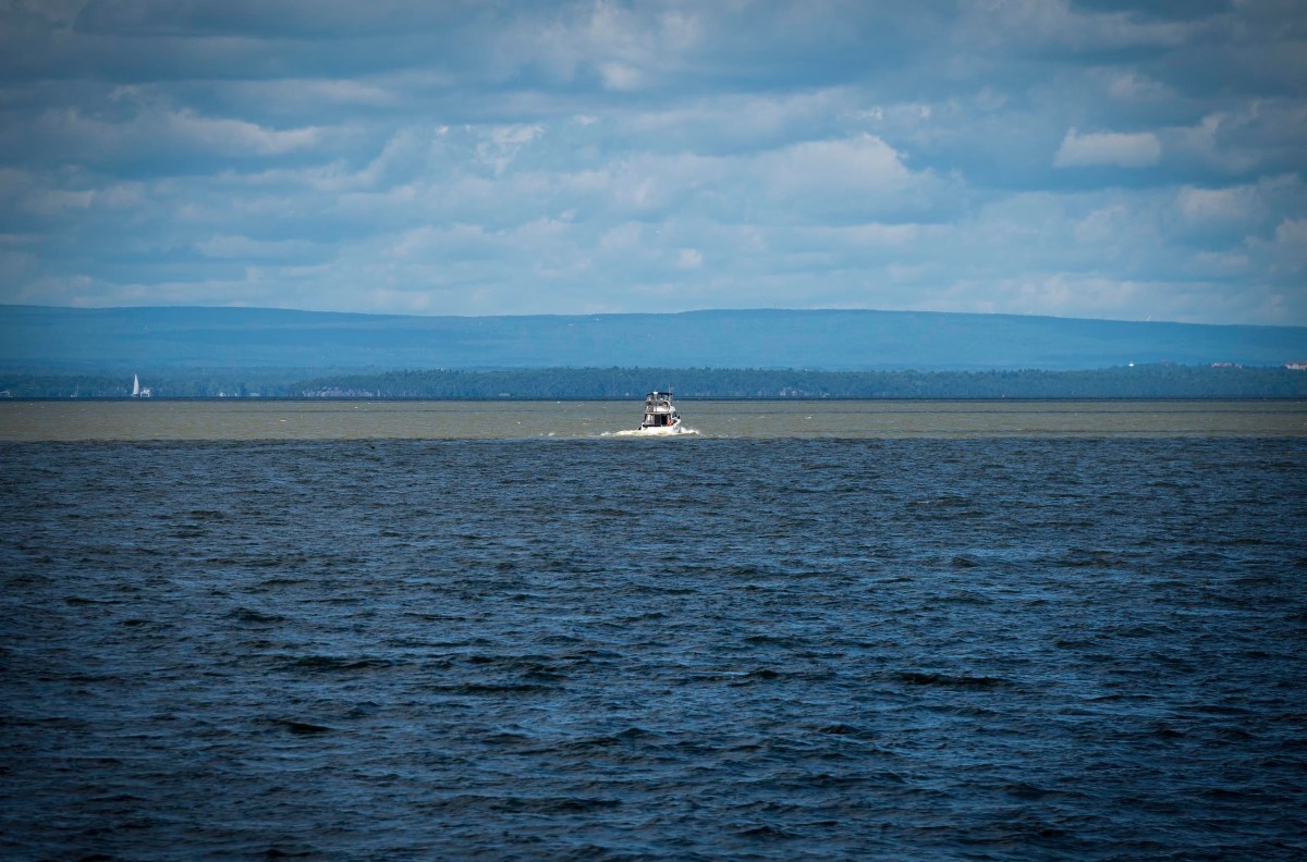
BURLINGTON — On July 18, a group of scientists and reporters stood on the balcony of a boat on Lake Champlain, gazing out at a plume of brown, murky water that ballooned from the mouth of the Winooski River.
One week earlier, the remnants of Hurricane Beryl dropped as much as 7 inches of rain in a torrent that swept across central and northern Vermont. Rainwater organized on the land, and rivers emboldened with new body and strength tore away entire sections of land, roads and stream banks.
Lake Champlain’s basin is 8,234 square miles — 18 times bigger than the lake itself — with more than half of that in Vermont. When it floods, rivers carry pieces of far-away environments into the lake.
Muddy plumes are part of a scene that’s becoming more familiar in Vermont: In the last 13 months alone, extreme rainstorms have caused four major flood events on July 10-11, 2023, December 18, 2023, July 10-11, 2024, and on July 29-30, when flash floods hit the Northeast Kingdom.
“This is certainly representative of trends we’re seeing with climate change,” Matthew Vaughan, chief scientist at the Lake Champlain Basin Program, told reporters on the boat. Hurricane Beryl, for example, was the earliest category-five-strength hurricane on record, he said, and it derived its power from record-warm water in the Atlantic Ocean.
Since 2002, Vermont has been working to achieve water quality goals for Lake Champlain that are required by the federal Environmental Protection Agency. In recent years, the state has made modest but steady progress on those goals.
But increasingly frequent and extreme flooding in Vermont, driven by climate change, could mark a significant setback for the lake’s water quality.
At a press conference in July, Vermont Natural Resources Secretary Julie Moore said the impact of recent floods was compounding. The flooding that took place on July 10, 2024 “exacerbates the concerns we saw last summer,” she said. Lakeshore property owners had told members of her agency that “they believe the lake has never looked worse.”
“Our water quality clean water goals for Lake Champlain need to be achieved regardless of climate change,” she said. “So we are actively looking at that data, seeing what it tells us about long term trends, and will ultimately consider if there are changes needed in our management approach.”
By the numbers
Flooding can impact Lake Champlain in a number of ways. It can wash all kinds of pollutants — plastics, sewage, propane tanks — into the water. It can cloud the water with sediment, creating potentially dangerous situations for recreators who might not be able to see debris in their path. Murky water can also be a setback for aquatic life, because sunlight can’t reach plants and algae, the base of the food chain.
But when experts talk about water quality in Lake Champlain, they’re often referring to phosphorus, a naturally occurring nutrient that, in excess, fuels cyanobacteria blooms, which have plagued the lake in recent decades.
Cyanobacteria, also called blue-green algae, is a type of bacteria that is native to most ecosystems, including Lake Champlain. Blooms look like “thick pea soup or a paint spill,” according to the Lake Champlain Basin Program’s 2024 State of the Lake report.
Not all blooms are toxic, but they can produce cyanotoxins that can harm humans, pets and wildlife. From 2021 to 2023, cyanotoxins were detected in 28 out of 172 water samples taken when there were visible cyanobacteria blooms. Only four samples were above public safety thresholds, according to the report.
Plants, algae and cyanobacteria need carbon, nitrogen and phosphorus to grow. But other nutrients are plentiful in the lake, so phosphorus is “often the resource that limits growth of cyanobacteria,” the report states.
Phosphorus comes from a variety of sources, such as fertilizer, waste, and soil. Projects that reduce pollution are wide-ranging, from installing rain gardens that help the ground absorb stormwater to multi-million-dollar wastewater treatment upgrades to reforming farming practices.
Together with the EPA, Vermont has defined limits for the amount of phosphorus that the lake can accept on average every day throughout the year without having problems, called the Total Maximum Daily Load. Each segment of the lake has its own limits.
In total, Vermont is working to reduce the amount of phosphorus going into the lake to 418 metric tons per year by 2036. That would be a reduction of more than 200 metric tons per year; from 2000 to 2010, the average amount of phosphorus that washed into the lake annually was 630 metric tons.
Vermont has only been tracking its progress to prevent phosphorus pollution since 2016, and the tracking process can be tricky and inexact. But according to the available data in the state’s 2023 Clean Water Initiative Performance Report, pollution prevention work went the farthest in 2022.
That year, all of Vermont’s pollution prevention efforts successfully kept 45 metric tons of phosphorus out of the lake. In 2023, clean water work prevented 41.5 metric tons of phosphorus pollution.
But those numbers are dwarfed by the amount of phosphorus that can swiftly wash into the lake during times of heavy flooding. In July 2023, after towns in Vermont received between 3 to 9 inches of rain in 48 hours, rivers delivered 174.5 metric tons of phosphorus to the lake in a single day, according to a presentation to the state from the Lake Champlain Basin Program.
“Flows peaked on July 11, when about 90 billion gallons of water and more than 100 metric tons of phosphorus flowed into Lake Champlain, ranking as the fourth highest daily delivery of phosphorus to the Lake since monitoring began in 1990,” according to the State of the Lake report.
It’s not unusual for the lake to receive a larger percentage of its phosphorus load for the year during strong storms in the summer. For example, even in a year without extreme flooding, the day with the highest phosphorus load in the Winooski River “typically accounts for about 5% to 10% of the load for that year,” according to the report.
But last July was different. From July 10 to July 16, the lake received about half of the recommended phosphorus load for the entire year.
“Lake users noticed a sharp and widespread decrease in water clarity for weeks following the July 2023 storm,” the report stated.
In the short term, that murkiness can stave off cyanobacteria, which needs sunlight to bloom. But when the water clears, the deposited phosphorus can cause trouble, particularly if it settles in a shallow part of the lake. At the end of last summer, regions including bays in St. Albans and Burlington experienced “a relatively higher incidence” of cyanobacteria blooms, leading to beach closures.
Blooms “were likely driven by availability of phosphorus,” said Vaughan, with the Lake Champlain Basin Program. Warm weather with less wind — factors that are also tied to climate change — contributed to the blooms, too, he said.
A great challenge
On the boat in mid-July, Anne Jefferson, director of Lake Champlain Sea Grant, an organization run by the University of Vermont and the State University of New York College at Plattsburgh, told reporters that, generally, flooding in Vermont is part of a “natural system.”
“We’re going to go look at some dirty water because of the floods,” she said. “But remember that rivers moving things like sediment and wood are natural and good processes.”
Phosphorus that washes into the lake doesn’t always cause problems, Vaughan said. Some of it sticks to sediment particles and drifts to the deepest parts of the lake, where it’s effectively removed from the ecosystem. Phosphorus is also absorbed in natural processes, fueling green algae blooms — which, unlike their blue-green counterparts, aren’t harmful — and providing nutrients for plants, for example.
Last year, there was “a really sharp increase in phosphorus that was, in part, due to that suspended sediment that had phosphorus attached to it,” Vaughan said. “And then, throughout the season, it kind of recovered and looked much more like a typical year.”
Vaughan said he was surprised to see how quickly the lake recovered from last summer’s flooding. Only weeks later, “monitoring showed a return to typical nutrient levels throughout the Lake, and most of the 2023 season showed typical phosphorus concentrations,” according to the State of the Lake report.
But any time there’s a flood, it’s going to add more phosphorus to the mix, which increases the odds of a cyanobacteria bloom.
So how are officials planning for that increase?
Each major tributary to Lake Champlain has a basin plan for its watershed, and Vaughan said basin planners are accounting for climate change. All of the work taking place on the ground — upgrading undersized culverts, for example, or establishing new floodplains — is designed to make Vermont’s environment more resilient to climate change by reducing erosion and runoff.
Lake Champlain’s water quality is ultimately regulated by the Environmental Protection Agency, which issues regular report cards on Vermont’s progress. The agency tracks a number of factors, and it gives Vermont credit for the strategies the state and towns have put in place to address pollution, rather than solely assessing measurable pollution reduction.
So far, the agency’s report cards have concluded that Vermont is on track to meet its goals — but the most recent report card came in January 2023, before four major floods hit the state.
Moore said there has been improvement in the lake’s water quality over the last few years, and she pointed to progress in Missisquoi Bay, where phosphorus levels have been “significantly lower than previous years,” according to the State of the Lake report. Despite 2023 flooding, the annual phosphorus level there was “at its lowest since 1994.”
“It’s pretty momentous, from my perspective,” Moore said. “It shows, in some ways, a little bit of proof that the work we’re doing is having the intended effect.”
Still, the report notes that Missisquoi Bay is among the lake regions that “continue to face significant challenges.” While phosphorus pollution has been reduced there in recent years, that’s “almost an anecdote — like, it’s a single data point,” Moore said. “And we need a collective set of data points” to prove that real progress is taking place.
Impacts from climate change “are among the greatest challenges to the Lake” because of more frequent and intense rainstorms “like those experienced in the Basin in 2023” that “will continue to cause increased erosion and nutrient loading to the lake,” according to the 2024 State of the Lake report.
Asked whether Vermont might need to ramp up its water quality work, Moore said it’s something staff at her agency has been considering.
“Climate change was a consideration in building the model. We anticipated there would be more frequent intense rainfall events in the future,” she said, and there’s a margin of error built into Lake Champlain’s Total Maximum Daily Load.
“I think it’s something that merits tracking over time and awareness of,” she said. “And I don’t believe there’s an answer to that question yet.”
Uncomfortable options
Phosphorus pollution comes from a variety of sources, including stormwater runoff from developed land, forestry operations, the erosion of streambanks during flooding and overflows from wastewater and sewage treatment systems.
But historically, agriculture has been one of the largest contributors of phosphorus pollution in the lake — and in turn, farmers have been responsible for most of the pollution reduction that Vermont has achieved so far, according to the 2023 Clean Water Initiative Performance Report, which is assembled by staff at the Agency of Natural Resources.
Farmers have implemented a range of practices to achieve that progress, including reducing tilling, using cover crops, farming farther away from the rivers and injecting manure into the soil rather than spreading it on top of the land.
It’s becoming clear that, in addition to erosion that comes from the water’s blunt force during flooding, Vermont’s increased extreme weather could make some pollution reduction projects harder for farmers.
The Winooski River, the largest tributary to Lake Champlain, inundated fields at DeGraaf Dairy in Richmond in July 2023 and July 2024, according to farmer Nicholas DeGraaf.
“All of our crop ground was completely underwater, anywhere from a foot and a half to easily 12 feet,” he said.
It was hard to quantify the flood’s economic impact to the farm, he said. He had less feed for his animals, and needed to buy it instead. The feed he did give to the cows was less nutritious, which can reduce the amount of milk the cows produce.
In addition, the farmers had to change some of their operations that are designed, in part, to protect the water quality of the Winooski River.
Typically, DeGraaf doesn’t till his crop fields, he said. Tilling can contribute to soil erosion, which can worsen water quality — and requires more labor from the farmers. But the floods covered his fields in a fine, silty sand that “doesn’t grow anything,” he said.
“So you either have to bury it with tillage to try and get it incorporated, or you have to take all this time and effort to scrape it off and do something else with it,” he said.
The farm flooded last year, too, and the DeGraafs decided to till. This year, tilling is “back on the table,” he said.
It’s frustrating for DeGraaf because water quality is “majorly important to us for two reasons,” he said.

“One, we don’t want to pollute the river,” he said. “But two, you know, I have all this money invested into these nutrients, and they grow this crop. So it matters to me that what I apply stays there, and that I am fully able to use it.”
Heather Darby, a soil specialist with the University of Vermont Extension Program, said extreme flooding can make water quality practices harder for farmers in a number of ways.
For example, many dairy farmers maintain open-air manure pits. Heavy rains increase the amount of material farmers need to manage. Last year, on some farms, the rain nearly doubled the amount of manure farms had to spread, Darby said, though the material was more diluted.
In addition, when the ground is already wet, manure that’s spread on top of a field might not absorb as easily.
“Last year, that was a huge, huge concern on farms and to the state as well, because farmers weren’t able to get their manure spread,” Darby said.
Challenges that come from flooding force farmers to weigh uncomfortable options, Darby said.
“You feel like you got it all figured out, and then you don’t,” DeGraaf said. “We work with nature, you know. Nature doesn’t work with us.”
Correction: An earlier caption in this story misidentified Rock Point.