Updated at 6:53 p.m.
On Tuesday night, in an ominous sign of what may come, a round of thunderclouds entered Vermont over Addison County and moved east, washing everything under their path with over an inch of rain.
The storms were just the forerunners of the last scraps of Tropical Storm Beryl. Around mid-afternoon Wednesday, the main body of clouds will break over Vermont, according to a forecast from the National Weather Service, pelting broad swaths of the state with 1.5-3 inches of rain in less than 12 hours.
The hardest-hit places could get nearly double those amounts, though “where the heaviest rain axis is going to set up is still uncertain,” according to Robert Haynes, a meteorologist with the weather service.
The high chance of heavy rains has led the weather service to elevate much of the state to a Moderate Risk Outlook, indicating “a 40-70 percent chance for rainfall rates to exceed flash flood guidance,” according to the forecast.
And at noon on Wednesday, the weather service also put 12 Vermont counties on a tornado watch until 9 p.m.
“There’s going to be a pocket of southern Vermont, south of Middlebury onwards, where strong gusts of wind give the small possibility of tornadoes,” Haynes said. “But we want people to be most worried about the flash flood potential.”
Wherever the rain is heaviest, damage to property from flash floods will become a real possibility, he said.
“Everywhere you get 3-5 inches, you could get water entering homes and businesses, basements,” Haynes said.
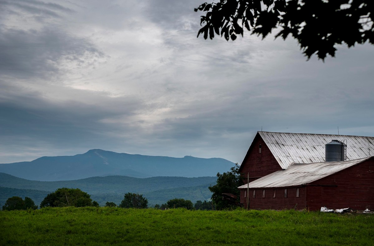
The strip of land that got rained on last night — parts of Rutland, Addison, Washington and Caledonia counties — will be particularly vulnerable today, according to Haynes.
“We’ll be watching for rainfall rates of 1 ⅓ inches per hour in that area,” he said.
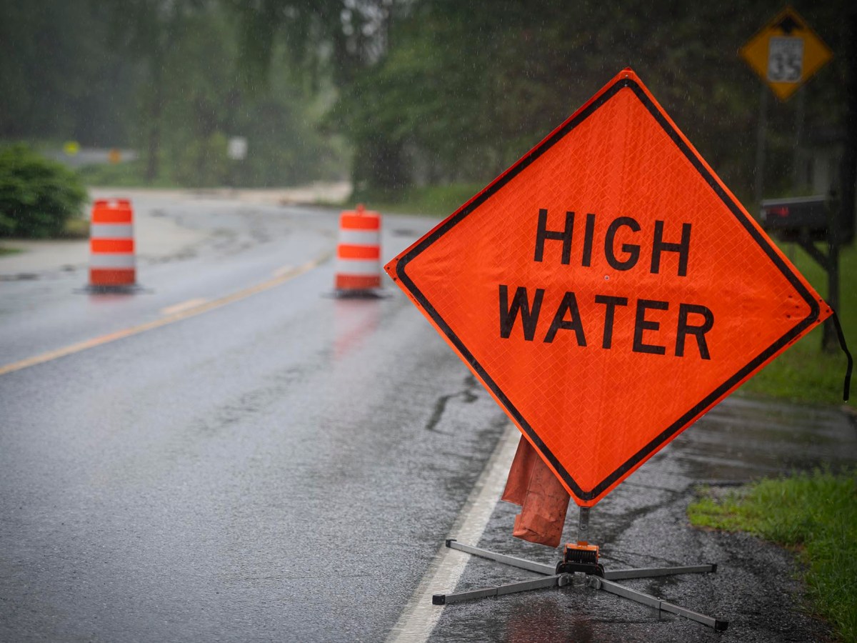
Should that come about, those places could get flash floods washing out roads, according to Haynes.
“Turn around, don’t drown,” he said, urging caution. “Two-thirds of flood deaths are from people driving into flooded roads.”
Vermont Emergency Management announced in a press release that it is activating the State Emergency Operations Center, which acts as a hub to coordinate the government’s response to emergencies, on Wednesday afternoon.
The state’s urban search and rescue teams are “staging ahead of the storm” and plan to “move with the storm” to cover the hardest-hit areas, according to the release. The Vermont National Guard said in a separate press release that it will send roughly 15 soldiers to assist those teams, bringing “high water vehicles” to areas expected to be hit by the storm.
And the Red Cross announced that it had shelters “on stand by” in Barre and Johnson, which it will open if needed, in coordination with local and state officials.
According to Haynes, “areas near low-lying creeks and streams, areas in bowls where water likes to flow quickly” are particularly vulnerable. This includes towns such as Barre, he said, which are “very flashy due to how water funnels into them.”
Where exactly the storms will unleash their greatest fury is still a mystery, according to Haynes.
From noon until 4 p.m. people should expect scattered showers and some thunder, Haynes said. Around 7 p.m, the downpour is expected to start in earnest, with widespread rains smothering most of the state until about 4 a.m. Thursday.
After that, the attention will likely turn to the rivers, as the rain runoff begins to make them swell up the banks, cresting early to late tomorrow morning, according to Haynes.
“Most of the rivers can manage this rain,” he said, adding that he believed the risk of minor river floods remained low, around 10%.
Haynes said he understood Vermonters’ concern, though, especially on the anniversary of last summer’s devastating floods. However, he urged them to remain optimistic that history will not repeat itself.
“Yes, today is a day we will experience scattered to numerous flash floods, but it won’t be anywhere near as bad.”
Corey McDonald, Erin Petenko and Shaun Robinson contributed reporting.